Lublin Info Centre
Drones in the Lublin sky – further effects of the project
Lublin is a pioneer in safe airspace management, providing us with further development opportunities. Together with our partner, the Jastków Municipality, we have been participating in a project for the past two years aimed at implementing a wide-scale drone flight coordination system. We are already seeing its first effects, including the launch of services for drone users planning and conducting missions to ensure the flights are as safe as possible. An interesting application has also been developed, allowing residents to independently check information about a noticed object in the sky. I encourage you to test the new solutions, says Andrzej Wojewódzki, Secretary of the City of Lublin.
The services being introduced are related to a project carried out since 2022. The joint application by the City of Lublin and the Jastków Municipality won the “Advanced Large-Scale Unmanned Aerial Vehicle Flights” competition organized by the Polish Air Navigation Services Agency. The flight concept is planned for the years 2022-2028. The task is part of the “Digital Services for Unmanned Aerial Vehicles” project co-financed by the European Union under the Digital Poland Operational Program for 2014-2020.
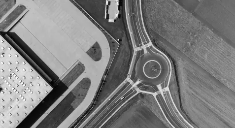
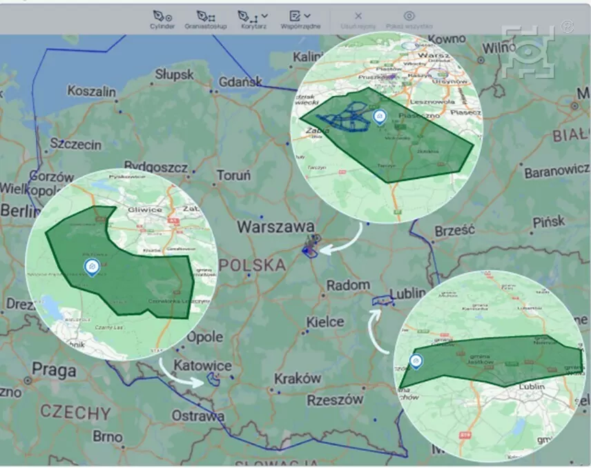
The area covered by the “DTM Lublin” project includes a total of 120 km² of the northwestern part of Lublin (the northern area of the Szerokie district and almost the entire Sławinek and Sławin areas) and nearly the entire Jastków Municipality. This area, as part of the project, is being equipped with devices to collect information on the location of UAVs, allowing for the acquisition of various data supporting flight safety. Both municipalities will have a real impact on shaping drone traffic in their area, and their users will receive a comprehensive system for flight planning along with tools informing them about space restrictions related to other UAVs. Users utilizing the new solutions will receive immediate automatic approvals of mission plans with specified conditions and flight rules. In most cases, this should significantly speed up the preparation process for conducting drone operations. More information about the project and other services developed as part of the project can be found on the PAŻP website.
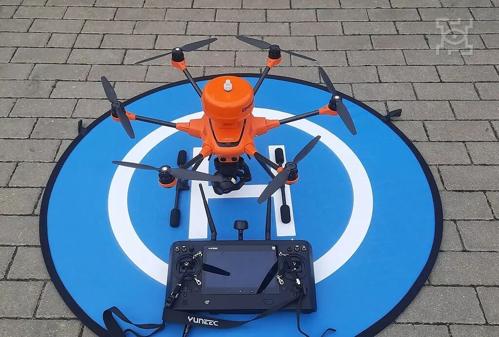
The service operating in the three specified areas primarily creates an innovative technological environment that enables, among other things, the detection of drone collisions and conflicts with other reported flights. It supports the user in carrying out missions by offering real-time monitoring of the flight trajectory of some UAVs in the given area, providing information on the location of other units equipped with localization devices, as well as meteorological data and information on local population concentrations, both permanent and temporary. The service also provides the SUP DTM Autonomy tool for mission plan coordination.
An interesting tool provided by PAŻP is the CoTuLata application. One of its functionalities is the ability to independently check information about a noticed drone. The application allows users to check whether the drone pilot observed in the sky is flying legally, meaning if the appropriate report was made in accordance with the applicable regulations. By indicating the location and confirming their position, users can access the current map of reported drone flights in their vicinity. Reports include information such as location, planned mission duration, and maximum flight altitude. If such information appears on the CoTuLata map, it means the pilot has made the appropriate reports and is likely authorized to conduct the flight. More about the application can be found on the PAŻP website.